Survey Services in Tororo, Uganda
Hydrological, topographical, irrigation and water analysis surveys for projects in Tororo and Eastern Uganda.
💬 Get a QuoteSurvey Services for Tororo Projects
Professional surveys provide the site-specific information needed to plan water infrastructure, irrigation systems and agricultural development projects in Tororo and surrounding districts. DripMasters East Africa provides hydrological surveys, topographical surveys, irrigation surveys and water analysis services for projects in this area, handled from the Kampala office.
Survey Types Available
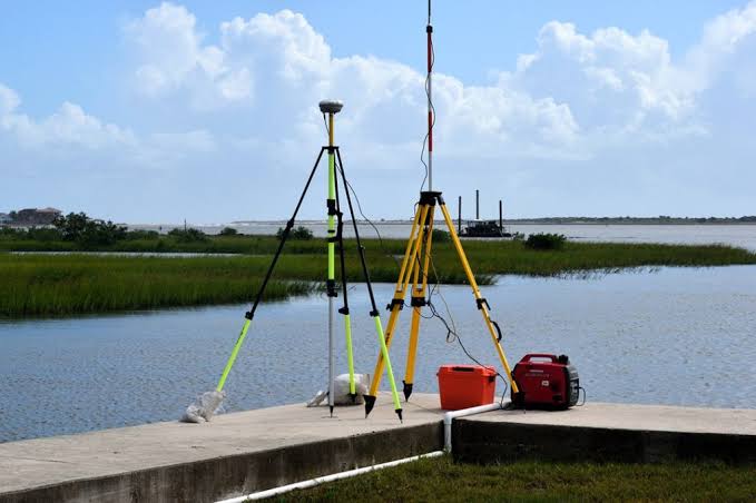
Hydrological Surveys — groundwater and water resource surveys for borehole siting and water source identification for projects in the Tororo area.
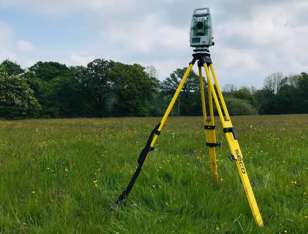
Topographical Surveys — land surveys mapping elevation and terrain for irrigation design and construction planning. Eastern Uganda's landscape near Tororo includes hills and varied terrain that can significantly influence irrigation system design.
Irrigation Surveys — site assessments informing drip, sprinkler or rainhose irrigation system design for farms in Tororo district.
Water Analysis Surveys — quality testing to determine suitability of water sources for irrigation, potable use or storage in specific tank types.