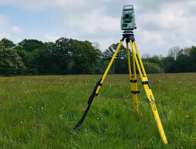
Topographical Surveys
Land surveys mapping site topography, elevation and terrain characteristics for construction, irrigation and agricultural project planning.
💬 Request a Topographical Survey
What Is a Topographical Survey?
A topographical survey is a detailed mapping of the physical features and elevation of a site. The survey captures the shape, contours, slopes and significant features of the land surface, producing data used in the planning and design of construction, irrigation and agricultural projects.
Accurate land mapping reduces design errors, informs system layouts and helps ensure that irrigation, construction and site development work is appropriate to actual site conditions.
Key Applications
- Irrigation system design & planning
- Construction site planning
- Agricultural land mapping
- Pipeline routing
- Water tank installation planning
Irrigation System Design
Topographical data is critical for irrigation planning — slope, elevation changes and drainage characteristics all influence how an irrigation system should be designed.
Construction & Infrastructure
Site surveys for buildings, water tank installations, pipeline routing and other construction activities where accurate land mapping supports engineering design.
Agricultural Land Mapping
Farm topographical surveys help landowners understand their land's characteristics before committing to infrastructure investment.