Survey Services in Masindi, Uganda
Hydrological, topographical, irrigation and water analysis surveys for projects in Masindi and the Bunyoro region.
💬 Get a QuoteSurvey Services for Masindi Projects
Agricultural, water infrastructure and irrigation projects in Masindi and the Bunyoro region benefit from professional surveys at the planning stage. Understanding the site's water resources, land topography and water quality before committing to infrastructure investment reduces risk and supports better project design outcomes.
DripMasters East Africa provides four survey categories for projects in Masindi: hydrological surveys, topographical surveys, irrigation surveys and water analysis services. Enquiries are handled from the Kampala office.
Survey Services Available for Masindi
Hydrological Surveys — groundwater and water resource surveys for borehole siting and water source identification. Relevant where agricultural or community projects depend on groundwater as a primary water supply in the Masindi area.
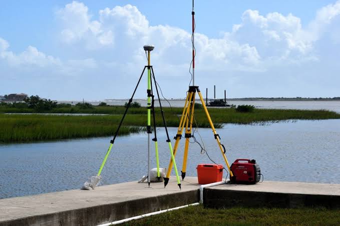
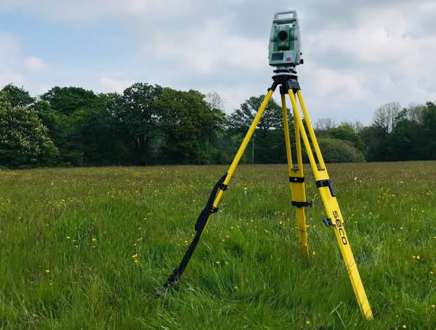
Topographical Surveys — land surveys mapping site elevation and terrain for irrigation and infrastructure planning in the Masindi district. Particularly useful given the varied landscape of the Bunyoro region where terrain influences irrigation system design.
Irrigation Surveys — site assessments informing irrigation system design for farms and agricultural projects in Masindi district, including assessment of water source suitability, land area and crop requirements.
Water Analysis Surveys — quality assessments determining water suitability for irrigation, potable use or storage applications in the area.