Survey Services in Iganga, Uganda
Hydrological, topographical, irrigation and water analysis surveys for projects in Iganga and the Busoga sub-region.
💬 Get a QuoteSurvey Services for Iganga Projects
Planning water infrastructure, irrigation systems and agricultural development projects in Iganga and the Busoga sub-region benefits from professional survey support at the early project stage. Survey data provides critical information about a site's water resources, land characteristics and infrastructure suitability, reducing the risk of poorly designed or poorly sited investments.
DripMasters East Africa provides hydrological surveys, topographical surveys, irrigation surveys and water analysis services for projects in Iganga, with enquiries handled from the Kampala office.
Survey Types for Iganga
Hydrological Surveys — groundwater surveys to support borehole siting and water source identification. Relevant for agricultural projects in the Iganga area where groundwater is the intended primary water supply.
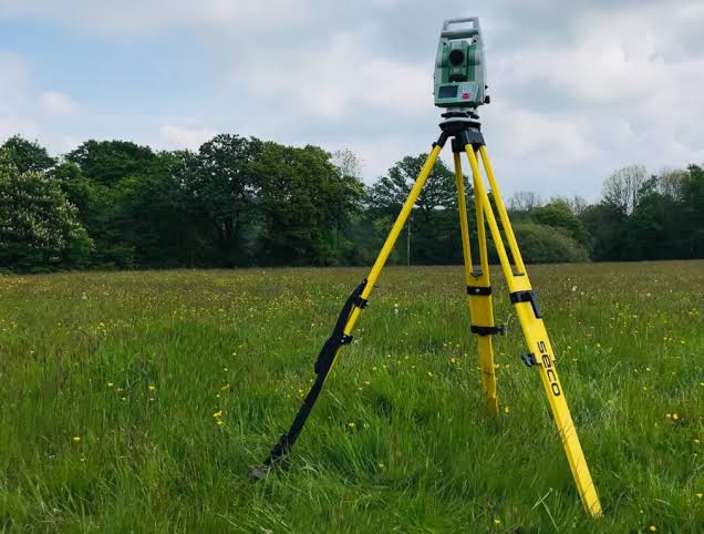
Topographical Surveys — land surveys providing elevation and terrain mapping for irrigation system design and construction planning across the Busoga sub-region's relatively flat terrain alongside the Victoria Nile catchment area.
Irrigation Surveys — site assessments informing irrigation system design for farms and horticultural projects in the Iganga district.
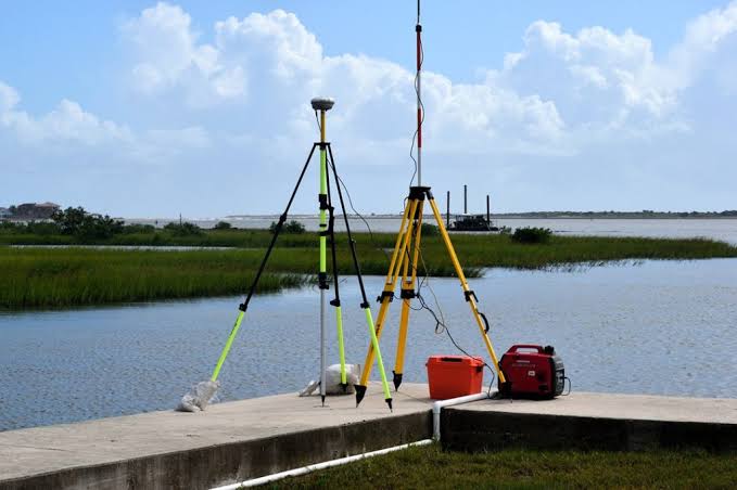
Water Analysis Surveys — quality assessments for water sources near Iganga, particularly relevant given proximity to Lake Victoria and associated water bodies, to determine suitability for irrigation or potable use.