Survey Services in Adjumani, Uganda
Hydrological, topographical, irrigation and water analysis surveys for projects in Adjumani and northern Uganda.
💬 Get a QuoteSurvey Services for Adjumani Projects
Water infrastructure, agricultural development and humanitarian programme planning in Adjumani and northern Uganda benefits significantly from professional survey services at the early project stage. Hydrological surveys identify and confirm water sources before borehole investment; topographical surveys inform irrigation system and infrastructure design; irrigation surveys guide system specification; and water analysis surveys confirm water quality for the intended use.
DripMasters East Africa provides all four survey types for projects in Adjumani, handled from the Kampala office. The company can discuss survey requirements for development sector, NGO-supported and commercial projects in this region.
Survey Services Available
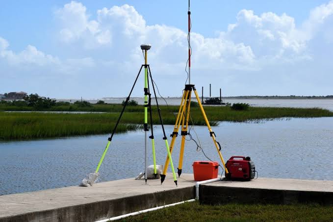
Hydrological Surveys — particularly important in the Adjumani context where community and agricultural water programmes frequently rely on borehole water as a primary source. Surveys help identify optimal borehole locations and assess groundwater availability before drilling investment.
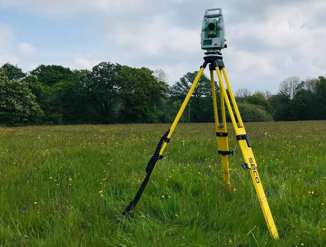
Topographical Surveys — land surveys for irrigation system design, infrastructure planning and construction layout across the Adjumani district.
Irrigation Surveys — site-specific assessments for agricultural and food security irrigation projects in the Adjumani area.
Water Analysis Surveys — water quality assessments confirming suitability for community water supply, irrigation or storage, relevant for the significant refugee settlement water programmes in this district.